About the project
Project background The protection of built-up areas against the impacts of flash floods in particular, and the associated manifestations of soil erosion, is a long-accentuated problem, which is a wide-ranging issue. Flash floods, which are characterized by high precipitation totals and rainfall durations of up to 180 minutes, have recently been a significant problem due […]
About the project
Project background Changes in the landscape water regime are closely related to changes in landscape layout. These are construction of linear elements of transport infrastructure, expansion of built-up areas, land devastation in mining areas, agricultural intensification, drainage and land reclamation, land consolidation and ploughing, deterioration of agricultural land soil structure, change of forest composition, and […]
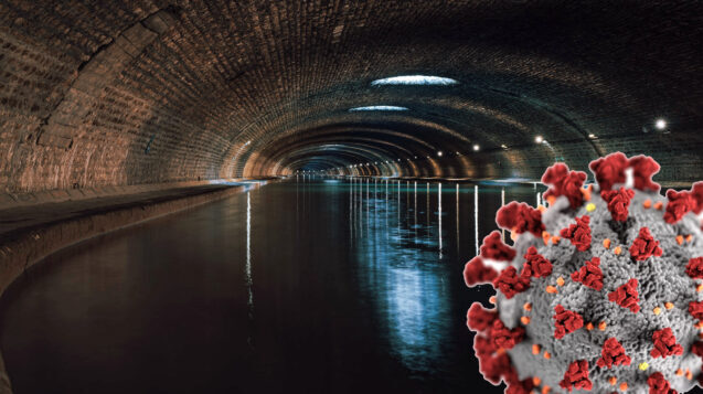
Methodical procedure of wastewater analysis for the presence of specific regions of the SARS-CoV-2 virus genome
Methodical procedure (in Czech)
ArcGIS ESRI software
Software for collection, management, spatial analysis of vector and raster data and their publication


