Online information sources, GIS applications and mapping services
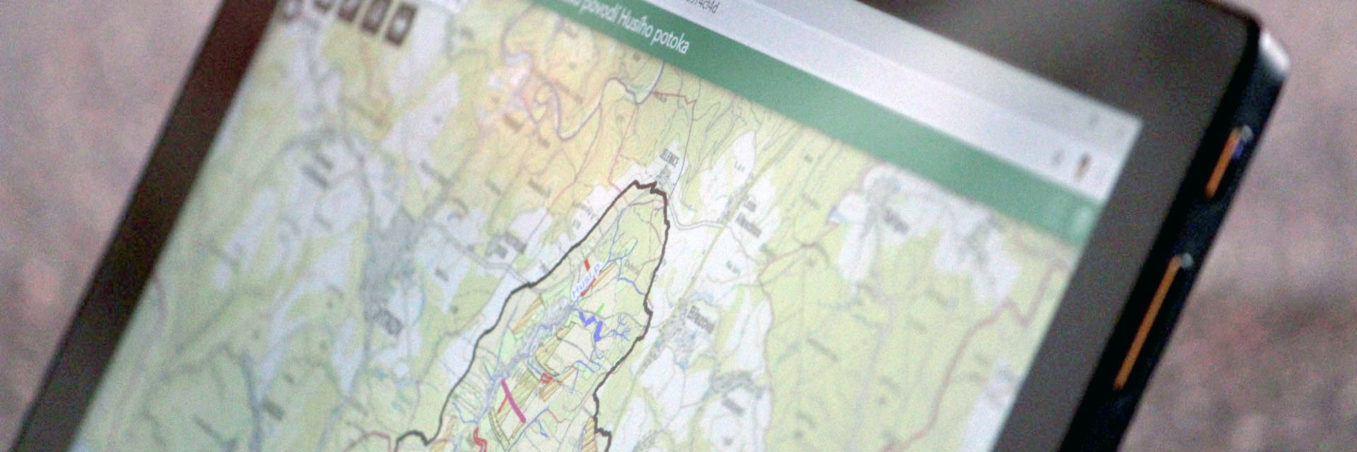
TGM WRI manages a number of specialized servers with water management topics for online use by professionals, members of the public, local government, and water authorities. The modern technology of geographic information systems is nowadays an inherent part of any problem related to the schematization of real spatial phenomena on the Earth's surface into the form of spatial data and their subsequent analysis and presentation in the form of cartographic outputs, map services, and map applications in the Internet environment. TGM WRI offers collection, management, and updating of spatial data in the field of water management and beyond, creation of special-purpose cartographic outputs, solution of comprehensive spatial analysis, and sharing of data and outputs of projects in the Internet environment through web portals, map services, and mobile/web-based map applications.