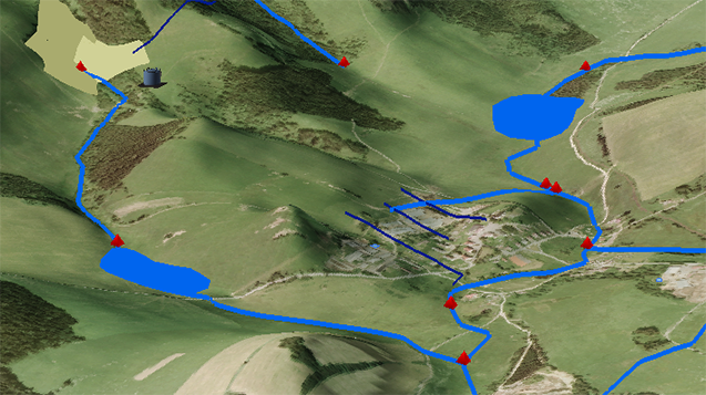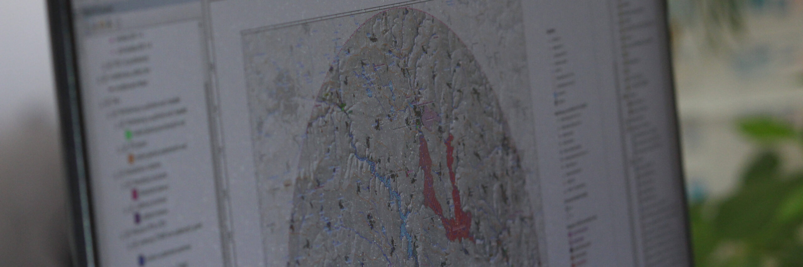
Geographic information systems, information technology
Geographic information systems, information technology, and data processing, evaluation and interpretation are currently a necessary and integral part of research. Within TGM WRI research activities there are two basic groups of activities – activities related to the development of new information tools (systems, applications, programmes, web portals, and interactive applications) and their subsequent application, and support activities (providing data and information base for research activities of our institution).