Project background
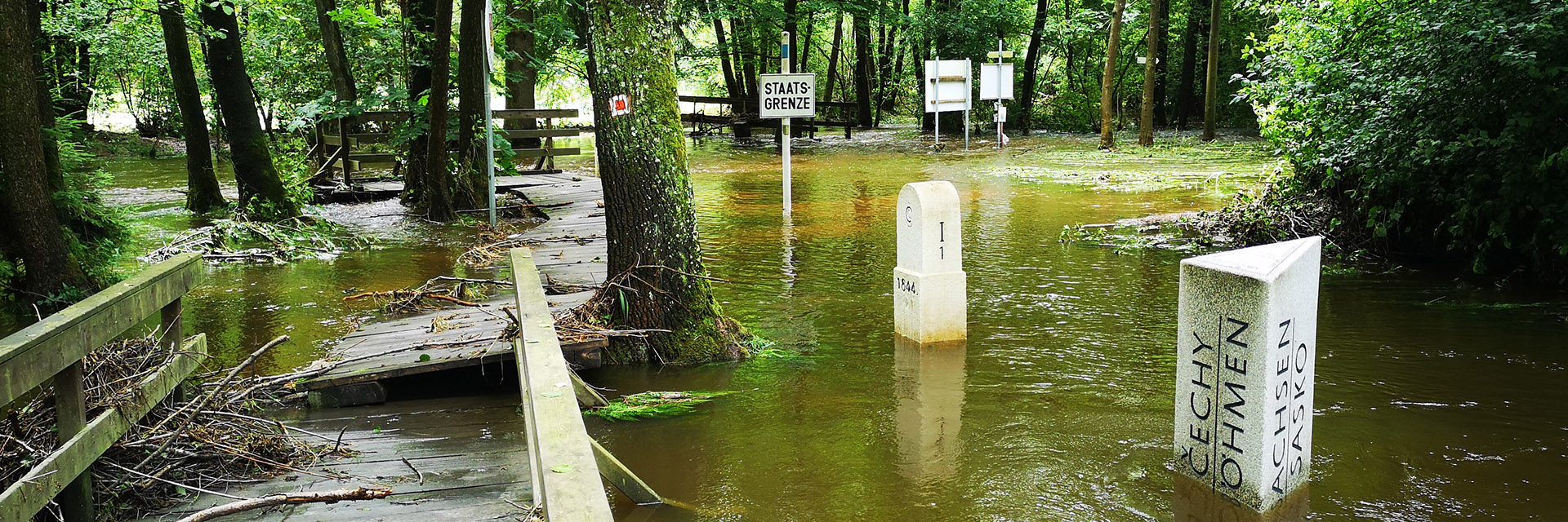
The project is focused on solving the problem of the decline of populations of rare and endangered species of plants and animals in the Rokytnice and Lužní potok basins in the area of the Ašské outcrop and the Pfreimd river basin in the České les area, respectively. Upper Falkland Forest. The border of the Czech Republic and Bavaria runs here through a watercourse, and the basin is made up of tributaries from the Czech and Bavarian territories. There were and still are different approaches to the use of water resources on both sides of the border. As a result of the last dry years, in some months there is a significant reduction in flow rates, in some places the streams also dry up, similarly to the loss of water in the soil profile. This recurring burden directly or indirectly threatens the species of interest. Species of interest are indicators of the quality of spring areas, surface waters or wetland, meadow and forest communities. These communities are analyzed within the project in terms of their long-term quantitative and qualitative changes.
Project aims
The goal is to propose such methods of management, with the help of which it will be possible to get closer to the state of nature and the landscape at the time when the monitored species were widely distributed. Management proposals will be discussed with experts from the field of nature and landscape protection, from the field of agriculture, with representatives of the public administration and local farmers and landowners. With their help, ways will be sought to put the proposed management methods into practice.
Project methodology
During the entire project, we map the territory on both sides of the border from a hydrological point of view using the same methods and collect available data on the current and historical state of the basin, especially on interventions in the water regime of the basin (straightening of flows, drainage and retention of water, melioration interventions, boreholes and wells). The aim of the project is to propose specific measures based on these findings, the subsequent implementation of which will improve the precipitation and runoff processes of Ašsk on both sides of the border.
In the project period (2020–2022), the unevenness of the distribution of precipitation during the seasons was fully manifested; these extremes have an overwhelming impact on aquatic and water-bound organisms. The development of runoff conditions since 1990 was described based on the evaluation of the CN number, the summary characteristics of the basins of interest were described on the basis of hydrological modeling, the predicted changes of hydrological members in future time horizons were described using climate change scenarios, and possible solutions for slowing down the runoff from the basin were outlined .
Due to complexity of the issue, the project was extended until 2023. You can read more details about our participation in the project here (in Czech) and also on the official website of the project here (in German).