Project background
The protection of built-up areas against the impacts of flash floods in particular, and the associated manifestations of soil erosion, is a long-accentuated problem, which is a wide-ranging issue. Flash floods, which are characterized by high precipitation totals and rainfall durations of up to 180 minutes, have recently been a significant problem due to their frequent occurrence. The connections are seen in changes in the extremities of climatic phenomena within the hydrological year, with manifestations on the one hand of an unusually dry period, caused by increased air temperatures and lack of precipitation and, on the other hand, intense rainfall in a short period of time.
The impacts of extreme hydrological phenomena in recent years have document the need to address the issue of flood and erosion protection in the Czech Republic in relation to the opposite extreme, i.e., the issue of hydrological drought. The condition of agricultural land, on which, under certain conditions, extreme runoff with devastating effects occurs during torrential rains, is decisive in terms of surface runoff, water erosion, and sediment transport. Forest land is also affected, especially in the application of inconsiderate logging and transport equipment as well as unsuitable stand composition.
The solution of integrated protection of an area against adverse and destructive effects of concentrated surface runoff must always start in the catchment area. By designing and implementing integrated protection of an area, it is possible to influence rainwater runoff by means of catchment area protection and organization, as well as water management measures. Adverse effects of these floods can be eliminated by a suitably designed comprehensive system of anti-flood and anti-erosion measures, which is based on a detailed analysis of erosion and runoff conditions. A number of appropriate measures can be implemented through good agricultural practice, which is increasingly emphasized in state and EU subsidy policy by complying with the legal measures stated in cross compliance and, in particular, its GAEC standards. The management standards are defined by EU Member States in relation to maintaining soil quality, minimum levels of water care, protection, and management (based on the framework stated in Annex III to Council Regulation (EC) No 73/2009). With effect from 1 July 2011, farming conditions were further tightened, and farmers must also protect so-called slightly erosively endangered soils.
Other measures are implemented through comprehensive land consolidation, especially by building joint facilities. In current practice, the design of protection measures is not yet a rule for evaluating the economic effectiveness of a proposal; therefore, such land protection solutions are promoted that are not effective and the committee of strategic experts is subsequently forced to exclude such projects from funding and thus implementation. It was during negotiations with committee members that the need to develop a methodology for evaluating the technical and economic effectiveness of flood protection and erosion protection features (planned project result) was mentioned, and the subsequent implementation of it in methodological procedures for designing protection measures in catchment areas, including the process of complex land consolidation.
Project aims
The main aim of the project was to create a system for optimizing the management of water and soil resources in the long term, including their balancing in the soil – plant – atmosphere system, and to reduce the impacts of climate change on agricultural ecosystems.
Project methodology
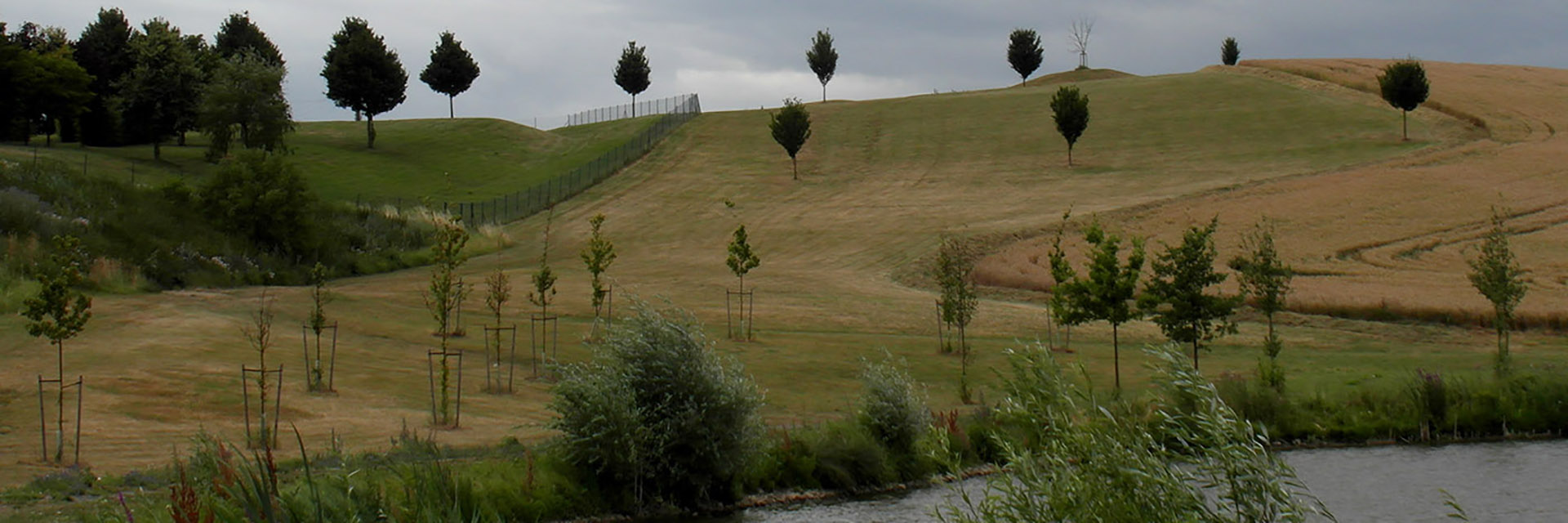
The proposed procedures of integrated water regime management were tested in the Husí potok and Litava river basins, focusing on the elaboration of proposals for the most suitable protection and organization of the area and optimal orientation of the development of agricultural and forestry management in these highly threatened river basins. Special attention was paid to defining the most appropriate organizational, agro-technical, forestry technology, biotechnical, and water management measures in the whole catchment area, which lead to integrated protection of settlements, water management infrastructure, transport infrastructure, and important facilities in the landscape, as well as securing water resources for dry periods.
A mathematical precipitation-runoff model was created for both areas of interest, which was used to evaluate the impact of the proposed measures. These models were further used in follow-up implementation, while creating and testing a comprehensive mathematical optimization model, which will enable a specific solution for the protection of the area of interest and water regime management in the Husí potok and Litava river basins as hydrological units.
More information can be found on the project website here (in Czech).